Independent GIS
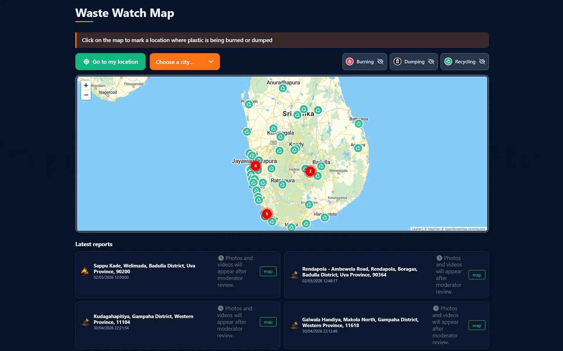
Full replacement of proprietary Google Maps libraries with OpenStreetMap / MapTiler tiles via Leaflet. Avoids user tracking and reduces overall network footprint.

« Stop Burning & Dumping Waste. Protect Sri Lanka, Protect Our Children. »
Bilingual citizen platform (English / Sinhala) for awareness, participatory mapping of open plastic burns and illegal dumps, and a directory of municipal and private collection points and recycling centres in Sri Lanka.
Free OpenStreetMap vector data, with no dependency on proprietary ecosystems.
Proof-of-work without third-party cookies or intrusive Google reCAPTCHA tracking.
Interface without ad trackers, bilingual English and Sinhala for the field.
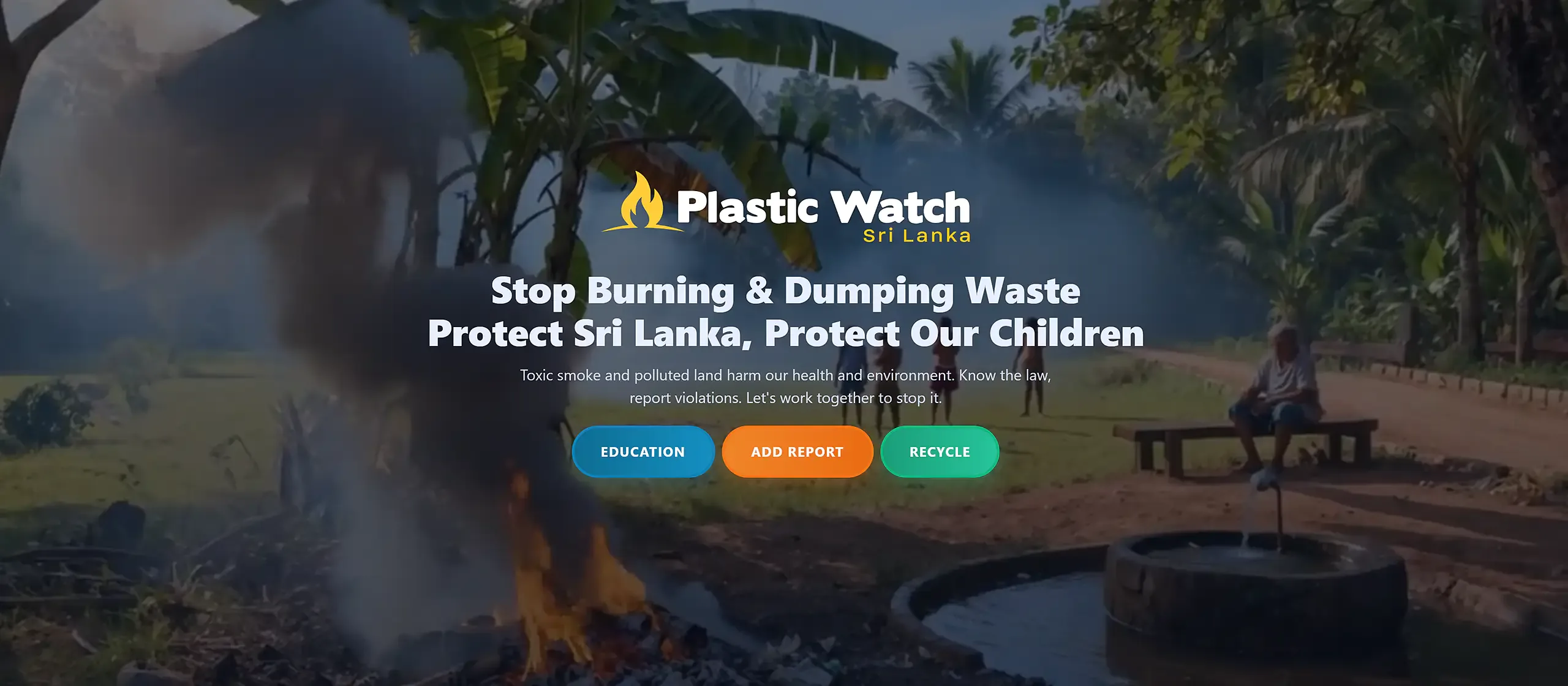
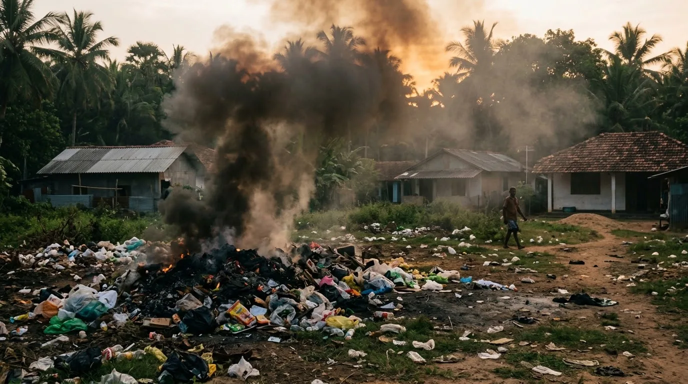
In Sri Lanka, the lack of structured collection chains in rural and peri-urban areas pushes residents to burn plastic waste in the open every day. This process releases highly toxic dioxins and furans straight into the atmosphere, causing chronic respiratory illness, childhood asthma and severe oncological disease.
Meanwhile illegal dumps pile up through the monsoons, clog river drainage networks, contaminate coastal aquifers and directly threaten fisheries as well as the coastal tourism economy.
Citizen use in real conditions: direct transmission to the Central Environmental Authority (CEA) and local recyclers.
Put a direct tool in every resident’s hands to report offences, immediately contact the environmental police (119) and route plastics to official collection centres.
As creator and volunteer developer, the goal was an ultra-light web architecture that works on entry-level devices, under blinding sun and unstable 3G/4G across the island’s nine provinces.
Rejecting the classic model of heavy apps from proprietary stores (Play Store / App Store) that demand gigabytes of bandwidth and logged-in accounts, PlasticWatch Sri Lanka was built as a web service reachable on the first click.
Instant English / Sinhala toggle with balanced typefaces for perfect alignment of the island script.
UI EN / SI • TYPO SYNCLeaflet-based interactive map engine with instant category filters: Burning, Dumping and Recycling centres.
LEAFLET GIS • 3 DYNAMIC FILTERSSimplified 3-step citizen form: automatic geolocation, evidence photo upload and ALTCHA anti-spam without Google captcha.
3-STEP WORKFLOW • ALTCHA POWExhaustive directory including 119 emergency numbers, Central Environmental Authority regional offices and 40+ recovery centres.
9 PROVINCES • 40+ RECYCLING CENTRESGolden yellow, the flame that marks open-air plastic burning.
Bright orange, the alert for a reported fire or illegal dump.
Emerald green, collection centres and material to recover.
Night blue, a dark ground readable under Sri Lanka’s tropical sun.
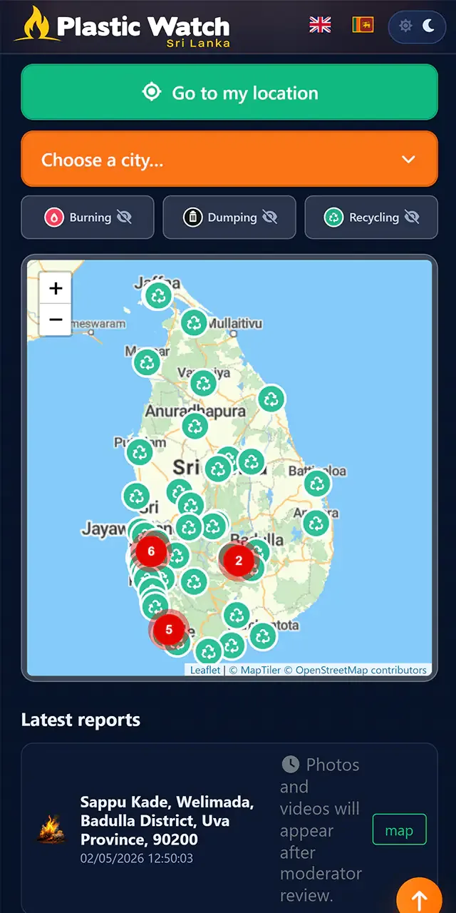
Full replacement of proprietary Google Maps libraries with OpenStreetMap / MapTiler tiles via Leaflet. Avoids user tracking and reduces overall network footprint.
Report-form protection via a browser-side proof-of-work mathematical challenge (ALTCHA), removing the need for Google reCAPTCHA.
Strict privacy manager respecting individual rights of environmental whistleblowers without storing superfluous device fingerprints.
Database architecture and hosting: Intel Xeon E5-1620v2 - 32GB DDR3 ECC 1600MHz.
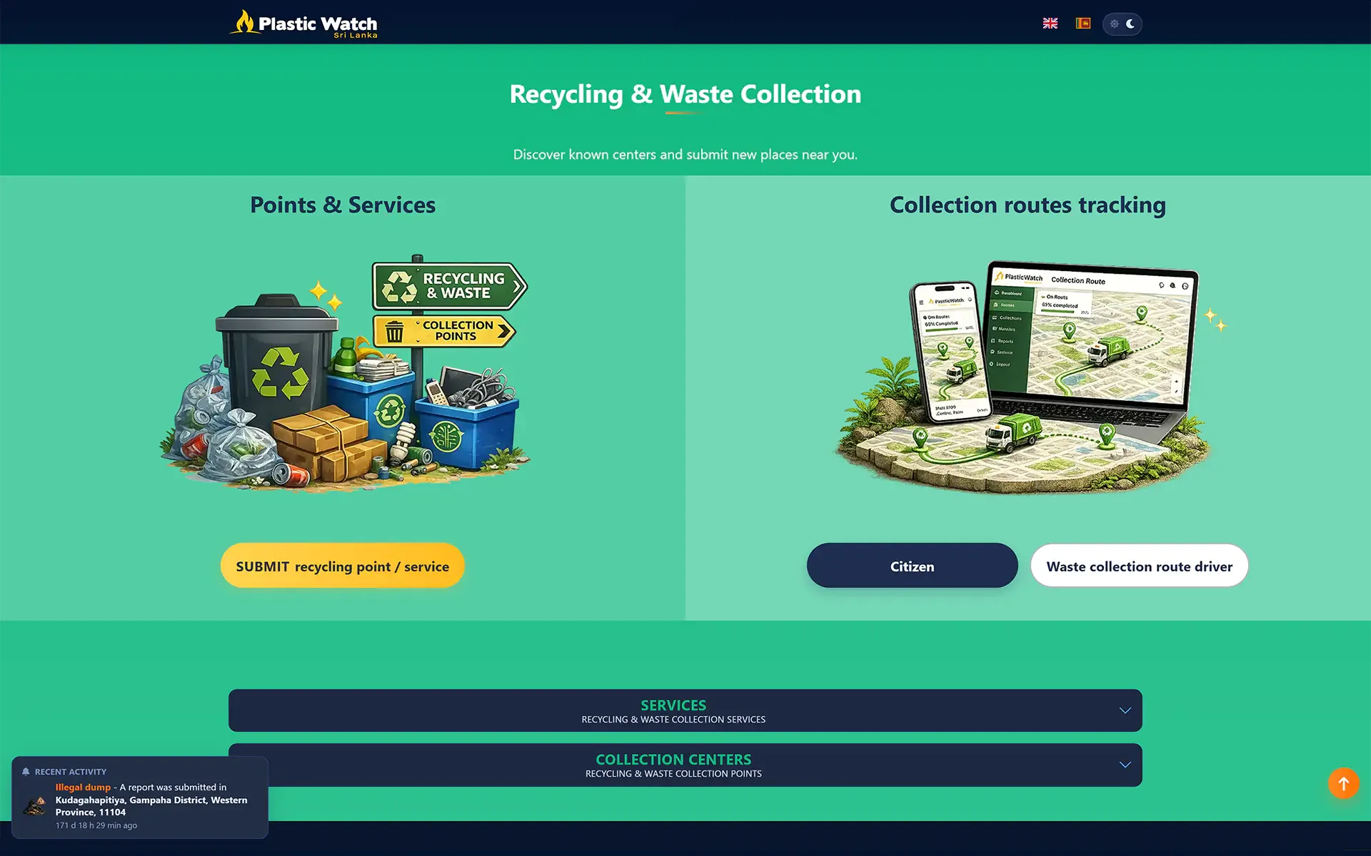
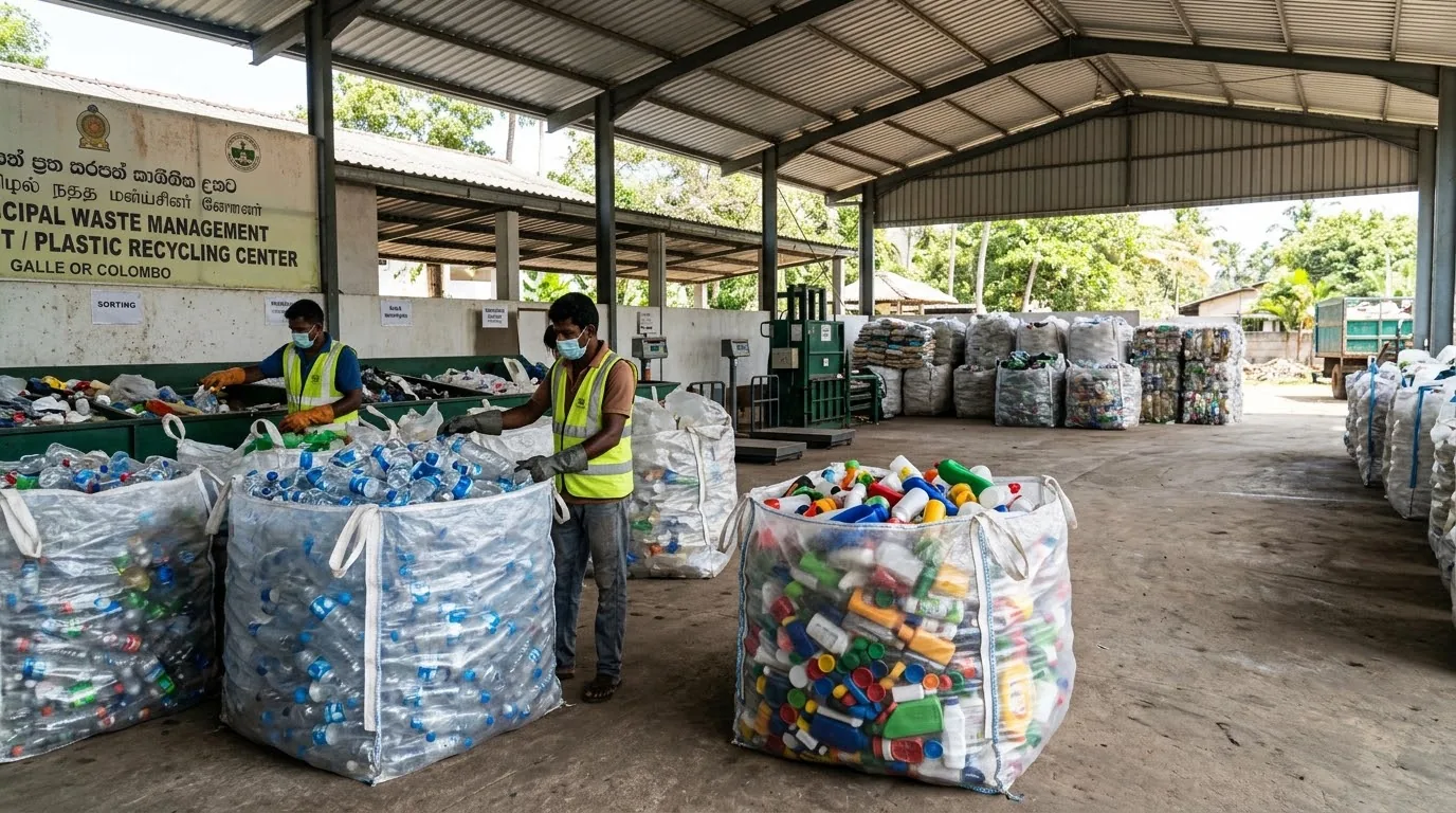
Directory and geolocation of recycling centres to guide PET/HDPE collections and eliminate open-air incineration.
More than 40 recovery centres listed, municipal and private — including Cleantech, Hayleys Eco Solutions, Eco Spindles, Ceylon Waste Management and INSEE Ecocycle.
The citizen discovers the medical impact of dioxins on their family and takes ownership of the CEA’s strict legal framework banning burning.
Entry point: educational homeInteractive map exploration: district selection (Colombo, Galle, Kandy, Jaffna), live alerts and nearby sorting centres.
Tool: interactive Waste Watch MapThree-step transmission of a geolocated photo report, or one-click call to Environmental Police (119) and listed collection centres.
Result: processing & interventionIndicators below only restate elements observable on the official platform. Audience metrics and report volumes will be published after analytical extraction.
Frugal interface architecture, open mapping solutions or interactive technologies with strong civic and environmental impact.